Risk 5 min readApril 30, 2026
Reading wildfire-weather exposure from open USFS and NASA data
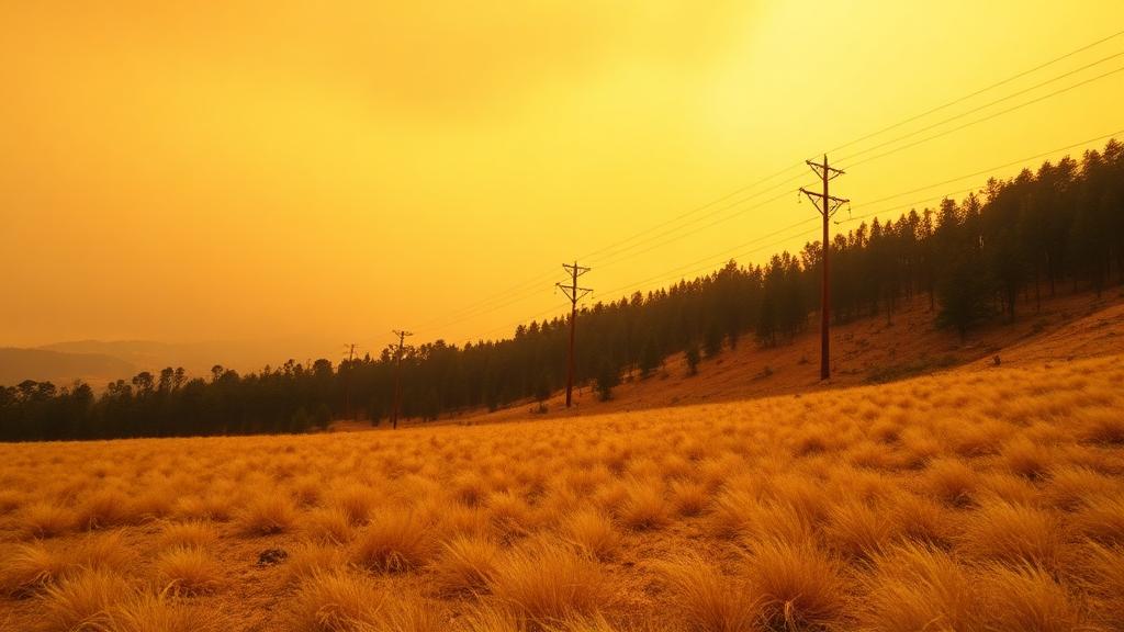
Fuel, drought, and fire-weather signals can flag the spans and poles operating in elevated wildfire conditions.
Wildfire risk is not only about a single hot, dry day. It builds from drought, fuel state, and fire-weather conditions that together describe how primed a landscape is to ignite and carry fire.
Blending the signals
USFS and NASA publish the inputs needed to characterize fire weather and fuel state. Combined into a span-level exposure score, they help identify where the grid is operating in conditions that warrant closer attention.
- Fire-weather indices capture short-term ignition and spread potential.
- Drought and fuel signals describe the longer-term landscape state.
- Span-level scoring flags the segments in the most elevated conditions.
As with every climagrid output, the score points you toward where to look. It supports judgment; it does not replace it.
climagrid helps prioritize inspections and maintenance using public, standards-based data.